City land area map: In Tamil Nadu, accessing land records and property details has become increasingly convenient with the introduction of the TN eServices portal. This online platform allows residents to view essential information related to land ownership, urban land maps, and other property-related data. This guide will help you navigate the process of checking land registration, ownership, and urban land survey map details efficiently.
Steps to Check Land Registration and Urban Survey Map Details?

- Visit the Tamil Nadu eServices Website: Open your browser and navigate to the official TN eServices website.
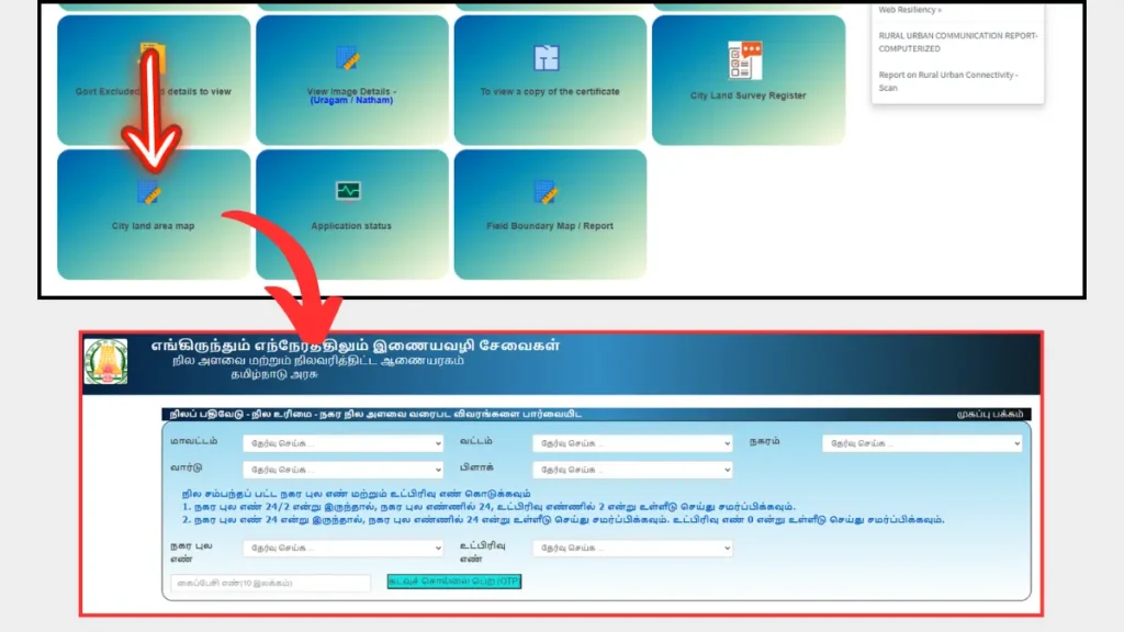
- Select the Relevant Service: On the homepage, locate and click on “நகர நில அளவை வரைபடம்” (Urban Land Survey Map).
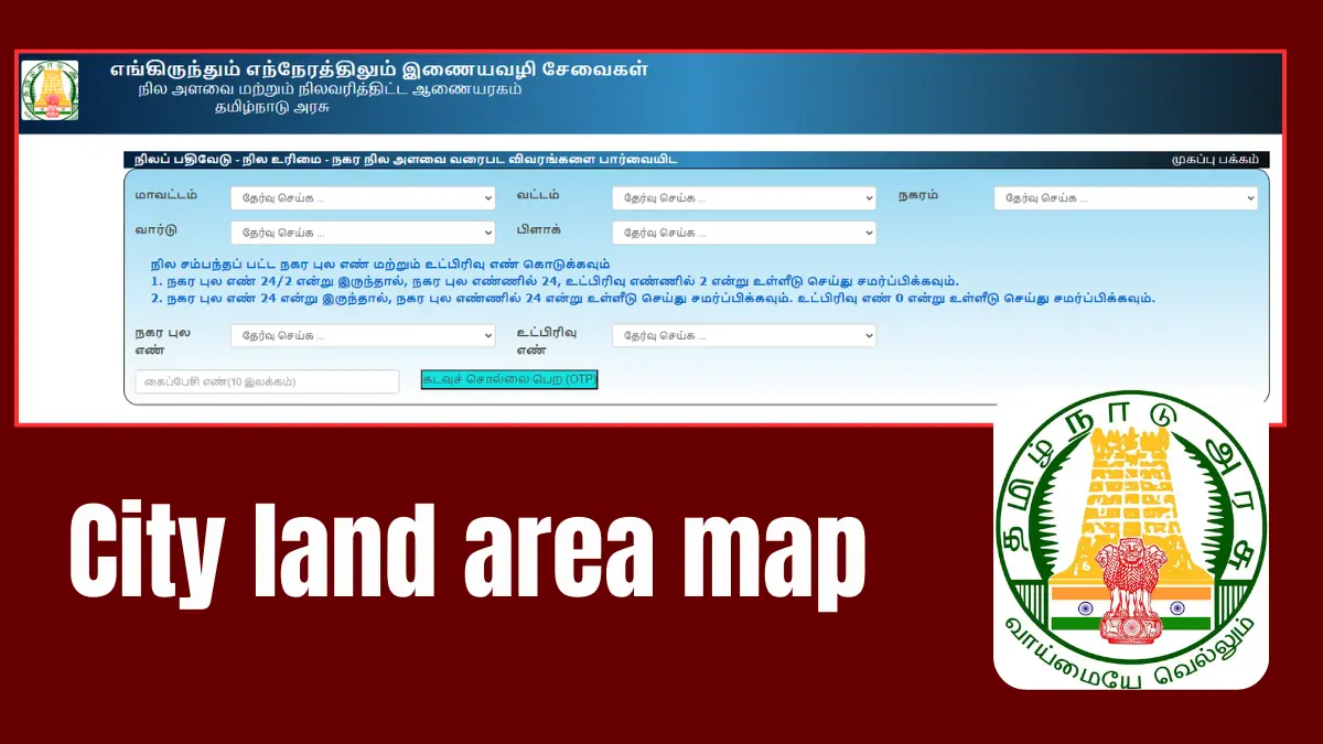
- Input Location Details: Choose the appropriate options for your query:
- Select the மாவட்டம் (District)
- Choose the வட்டம் (Taluk)
- Select the நகரம் (City)
- Choose the வார்டு (Ward)
- Select the பிளாக் (Block)
- Enter Identification Information:
- Input the நகர புல எண் (Urban Field Number)
- Enter the உட்பிரிவு எண் (Sub-Division Number)
- Get OTP: Provide your 10-digit mobile number and click on the “Get OTP” button.
- Verify OTP: Enter the OTP received on your mobile to access the details.
Conclusion
By following these steps, you can easily view important land registration and urban survey map details through the TN eServices portal. This online facility not only simplifies the process but also empowers citizens with quick access to essential property information. Embrace this digital convenience to stay informed about your land ownership and related queries efficiently!
